Back to Weather

5-day forecast / Princeton, TX

MondayChance Showers And Thunderstorms96° / 72° 31%
TuesdayMostly Sunny96° / 72° 5%
WednesdayMostly Sunny95° / 70° 3%
ThursdayMostly Sunny93° / 68° 2%
FridayMostly Sunny93° / 69°

Princeton Weather: Heat Index Reaches 100 Degrees Amidst Storm Risk - Sep 21, 2 PM

Princeton weather, updated every four hours — local forecasts you can trust.

Princeton residents face intense heat today with a high near 96F and heat index values up to 100F. A 30% chance of showers and thunderstorms exists, clearing by tomorrow when skies turn mostly sunny.

Vera Yoder

September 21, 20262 min read

National Weather Service radar for North Texas (KFWS)

*As of Sep 21, 2 PM local time.*

Intense Heat Dominates Local Conditions

Princeton is experiencing significant heat this afternoon, with the air temperature currently at 91F. The combination of warmth and humidity creates a feels-like temperature of 96F, making the outdoor environment feel considerably hotter than the actual air temperature. Relative humidity stands at 46%, while the dew point is 68F.

The sky is clear, and winds are minimal, blowing from the north northeast at around 5 mph with gusts up to 5 mph. This lack of breeze contributes to the stagnant, muggy atmosphere that characterizes the current conditions.

Today’s Forecast and Storm Potential

The day will remain hot, with a high near 96F. Heat index values are expected to reach as high as 100F, indicating dangerous levels of perceived heat. There is a 30% chance of precipitation, with a risk of showers and thunderstorms developing.

These storms are most likely to occur before 10pm. As evening progresses, the sky will become mostly clear, and temperatures will drop to a low around 72F. Winds will shift slightly, ranging from 5 to 10 mph from the north northeast.

The heat index will remain elevated, reaching up to 97F during the evening hours.
Tomorrow’s Outlook and Safety Reminders

Tomorrow brings a similar thermal profile, with a high near 96F and a low around 72F. The weather will be mostly sunny, and the risk of precipitation drops significantly to just 5%. However, the heat index will peak at 102F, making it even more critical to stay hydrated.

Winds will continue to blow from the north northeast at 5 to 10 mph. Given the sustained high temperatures and high heat index values, it is essential to limit midday exertion, drink plenty of water, and check on vulnerable neighbors. There are no active weather alerts in effect, but the heat itself poses a significant health risk that requires careful management throughout the day.

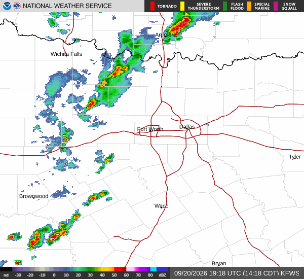
National Weather Service radar for North Texas (KFWS)

Sources

National Weather Service radar

National Weather Service forecast data

Open-Meteo weather data

Share

Vera Yoder

Vera Yoder covers weather, storms, and seasonal life around Princeton.

Related Stories

More in Sport